Each year, Kenya commemorates World Wetlands Day to mark the adoption of the Ramsar Convention on Wetlands in Iran like the rest of the World. The convention came in force in Kenya in 1990. Hitherto, the country has been celebrating the event annually on 2nd February. The convention aims at promotion of conservation and sustainable utilisation of wetlands.
In Kenya, wetlands occupy approximately three to four percent of the Kenya’s landmass. Each year, Kenya commemorates World Wetlands Day to mark the adoption of the Ramsar Convention on Wetlands in Iran like the rest of the World. The convention came in force in Kenya in 1990. Hitherto, the country has been celebrating the event annually on 2nd February. The convention aims at promotion of conservation and sustainable utilisation of wetlands. In Kenya, wetlands occupy approximately three to four percent of the Kenya’s landmass.
In the year 2020, the World Wetlands will be celebrated as follows;
Theme: Wetlands and Water
Slogan: Conserve Wetlands for Better Health
Venue: Sabaki Estuary, Kilifi County
Date: Monday, 2nd February 2021
Participate in the WETLANDS DIGITAL COMPETITION to win owesome awards during the WWD celebrations.
Join us onlien using hashtags: #WetlandsDayKe and #WetlandsForBetterHealth
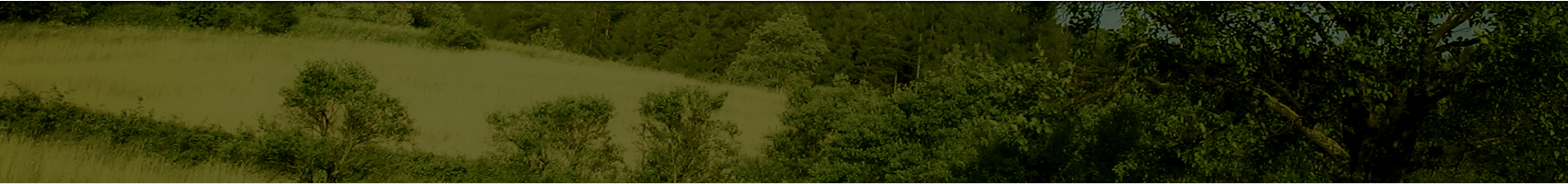
SABAKI ESTUARY
Sabaki river is part of the second largest river in Kenya covering a total of 390Km. From its source, its known as Athi river as it meanders in its mid stage, it becomes river Galana before it meanders its last leg of its long journey into the Indian Ocean about 10 kilometers north of Malindi town where it is called the River Sabaki. It is one of Kenya’s largest estuary and an important bird area as It hosts large visiting stocks of the Madagascar Pranticole and is also an important nesting, roosting and feeding ground for gulls and terns.
Sabaki River Mouth marks the point where Kenya’s second largest river empty into the ocean. It is located 03o09’S and 40o08’E, within Malindi District of Coast Province. The estuary covers an area of about 6 km2 and consists of sandbanks, mudbanks, dunes and seasonal and permanent freshwater pools, mangroves and scrub. The state and size of the estuary vary seasonally depending on river flows. Just North and South of the River Mouth are grassy sand dunes that conceal permanent or temporary water pools of fresh water.
The Sabaki Estuary Management plan 2009-2015 indicates some of the challenges facing the estuary as habitat destruction, siltation, unsustainable sand harvesting, encroachment/riverbank farming and low level of environmental education and awareness among the adjacent communities. Therefore, the WWD 2021 is aimed at raising awareness on the need to protect the estuary and sustainably utilize the resources within this ecosystem.

 Popo Road,South C, off Mombasa Road
 P.O.BOX 67839-00200, Nairobi. Kenya
 Mobile: 0724 253398, 0735 013046.
 Email: info@nema.go.ke